The 12th ISDE International Lectures culminated on September 9, 2024. This event themed "Global Food-and-Water Security-support Analysis Data Using Multi-sensor Remote Sensing, Machine Learning, and AI on the Cloud" was organized by the International Society for Digital Earth (ISDE). The audience engaged in presentations delivered by three distinguished speakers: Dr. Prasad S. Thenkabail, Dr. Pardhasaradhi Teluguntla, and Dr. Itiya Aneece from the United States Geological Survey. They discussed the application of multi-sensor remote sensing and machine learning around the GFSAD project and shared the latest research results.
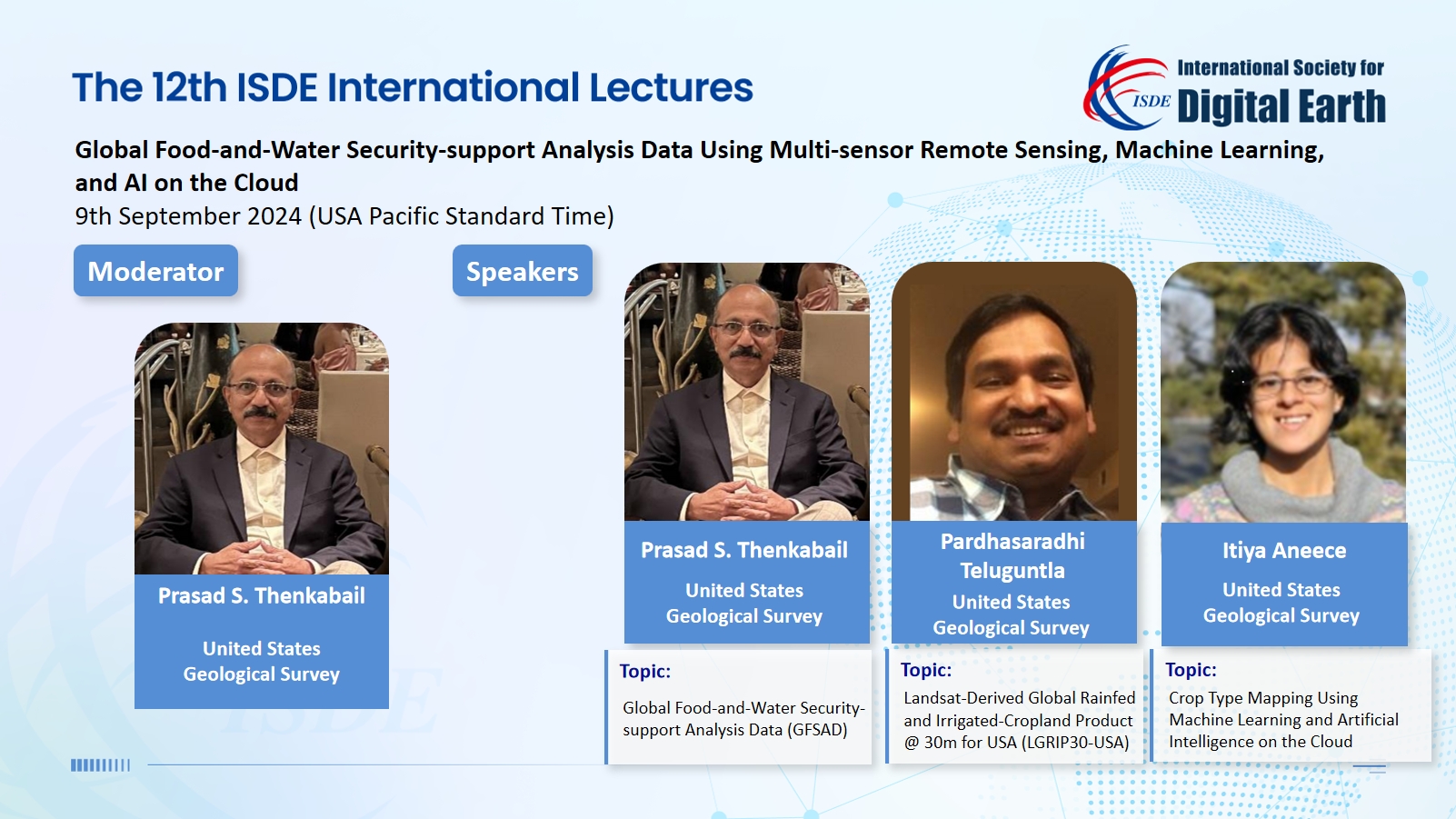
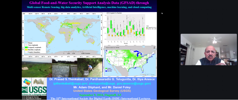
Dr. Prasad S. Thenkabail, a Senior Scientist with USGS, presented a report entitled "Global Food-and-Water Security Support-analysis Data (GFSAD)". First, he gave an overview of the Global Food-and-Water Security Support-analysis Project. Then, he explained how high-resolution data can be used to manage agricultural production and water resources, and finally highlighted the project's important contribution to global food security.
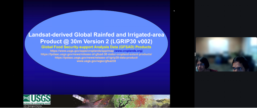
Dr. Pardhasaradhi Teluguntla, a Senior Scientist with the Bay Area Environmental Research Institute (BAERI) @ USGS, shared his research results in this field under the title "Landsat-derived Global Rainfed and Irrigated-area Product @ 30m Version 2 (LGRIP30 v002)." First, he showed how the Landsat imagery is used to generate maps of irrigated and rainfed farmland in the United States. Then, he analyzed the impact of these data on food production and water management, and finally pointed out the role of high-resolution maps in improving the sustainability of agricultural management.
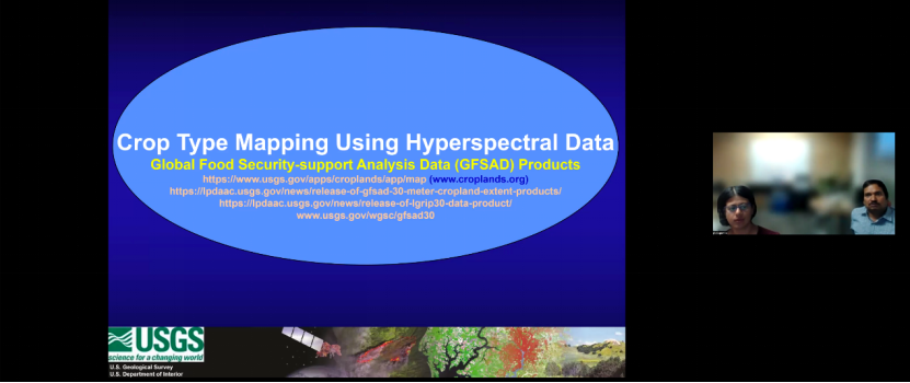
Dr. Itiya Aneece, a Research Geographer at the USGS Western Geographic Science Center, presented on "Crop Type Mapping Using Hyperspectral Data." To begin with, she introduced the application of hyperspectral sensors to crop classification. Secondly, she analyzed how sensors such as DESIS and PRISMA can improve classification accuracy through machine learning. In the end, she elaborated the advantages of these technologies in improving agricultural monitoring and crop biochemical characterization.
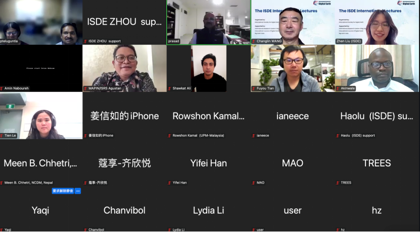
The 12th ISDE International Lectures was moderated by Dr. Prasad S. Thenkabail. Over 7,274 participants from around the world attended the 12th Lectures through Zoom, ISDE Bilibili platform, and other academic streaming platforms.
The ISDE International Lectures are organized by the International Society for Digital Earth (ISDE) and supported by the International Research Center of Big Data for Sustainable Development Goals (CBAS). It is a series of online events which feature invited lectures by well-known international experts in the field of Digital Earth. The event will invite speakers to give lectures every two months. The purpose of the events is to bring international scholars in the relevant research fields of Digital Earth together to exchange academic perspectives, share research results, and disseminate the most cutting-edge and authoritative concept of Digital Earth.
Extended Materials:
About the previous ISDE International Lectures:
http://www.digitalearth-isde.org/list-34-1.html
About Global Crop Water Productivity and Savings through waterSMART (GCWP):
About Global Hyperspectral Imaging Spectral-library of Agricultural-Crops & Vegetation (GHISA):
About Global Food-and-Water Security-support Analysis Data (GFSAD):
Release of LGRIP30 Data Product:
https://lpdaac.usgs.gov/news/release-of-lgrip30-data-product/
Release of GFSAD 30 meter Cropland Extent Products:
https://lpdaac.usgs.gov/news/release-of-gfsad-30-meter-cropland-extent-products/

2004-2026 All Rights Reserved 京ICP备06045536号-1 京公网安备 11010802041631号