On September 26th, 2023, the 6th ISDE International Lectures was successfully held. Three speakers were invited to demonstrate the automation and scaling from satellite and drone collections, and the application of drones to the coral reef mapping and monitoring. The advantages and disadvantages of the drone lidar in coastal topography and 3D marsh mapping were also analyzed. Their excellent reports sparked fervent discussions and offered fresh perspectives to all participants.
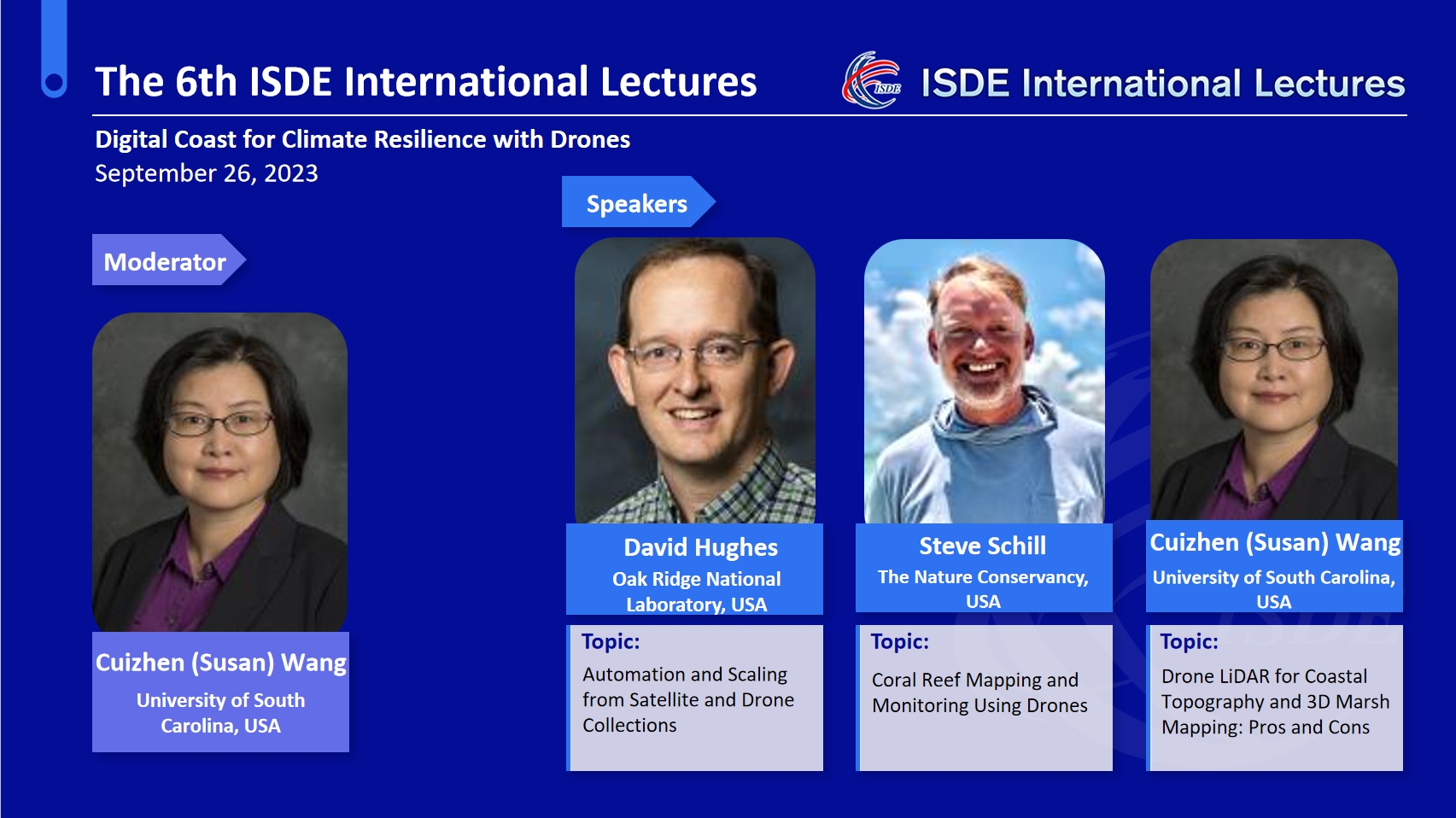
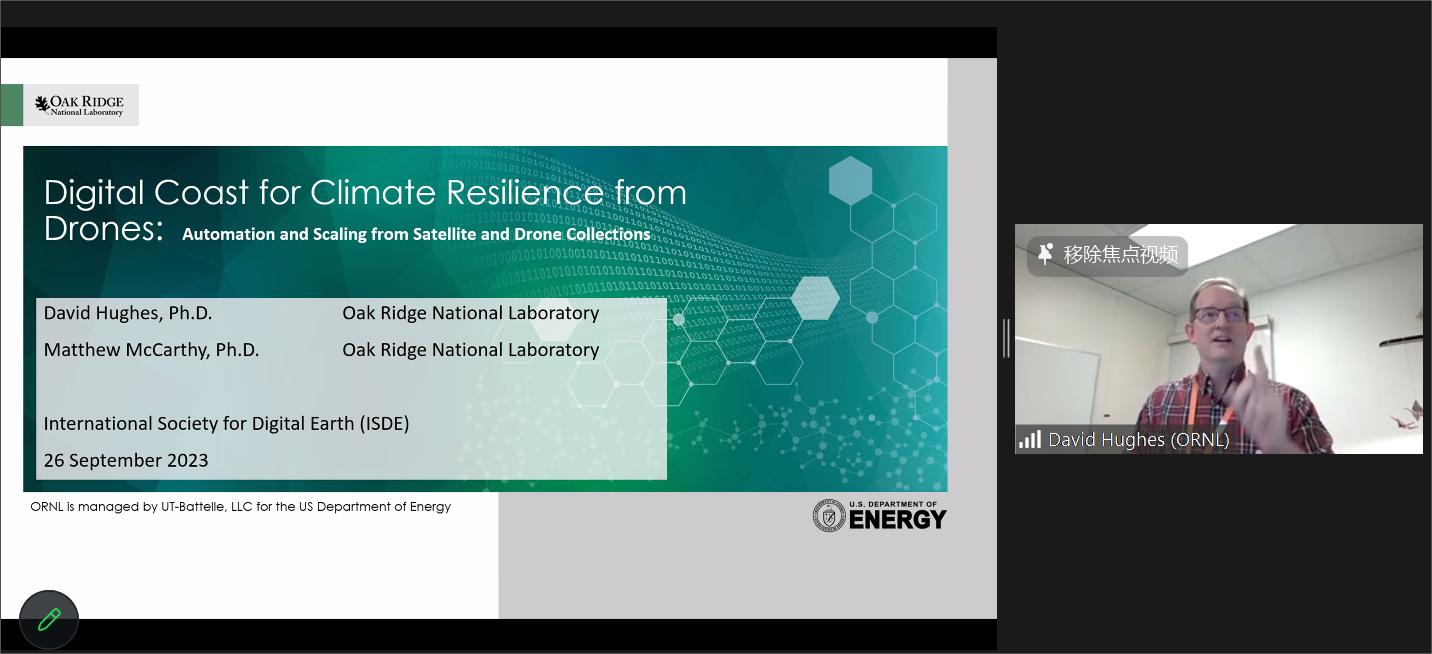
David Hughes, Senior Remote Sensing Scientist of the Oak Ridge National Laboratory, USA, gave a lecture themed “Automation and Scaling from Satellite and Drone Collections”. He first introduced the automated and accurate remote sensing workflow. Then he gave a graphical example of his team by using their computer resources to conduct the research on Automated Feature Extraction (AFE). He expanded on the importance of edge computing, as well as “The Dark Arts”, and PIPE workflow timeline, which was followed by another example of Actionable Analysis from Satellites and UAS. Finally, he expounded on the method and results of a study he conducted in Florida, and provided a comprehensive summary of this investigation.
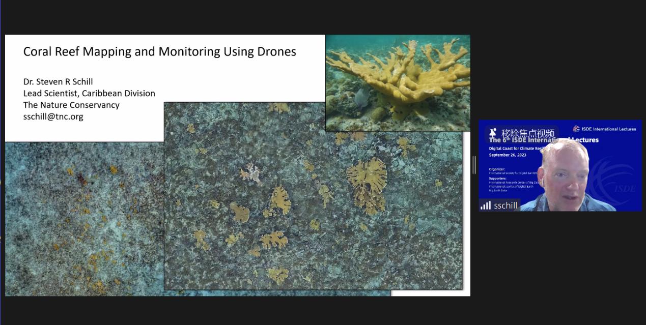
Steve Schill, Lead Scientist of the Caribbean Division of the Nature Conservancy, USA, delivered a lecture on “Coral Reef Mapping and Monitoring Using Drones”. He made a lead-in by briefly introducing different types of drones which he used in the research from 2014 to 2023. Then he showed an example of identified coral species from imagery acquired by using a Sony RX1PII (42MP) on a WingtraOne UAV flying at 65m Mo’orea, Tahiti, French Polynesia. Then, he presented another case study on the coral’s images on different environment conditions and research data. He, at last, demonstrated the camera system which is used in the underwater to collect datasets, and the method of site selection, photography taken, and reference information collected. He concluded the lecture with possible challenges faced in his research like data gaps from lack of overlap, sunlight refraction, skills for feature extraction, etc.
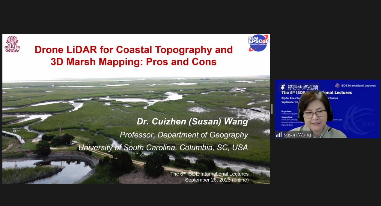
Cuizhen (Susan) Wang, Professor of University of South Carolina, USA, gave a lecture on “Drone LiDAR for Coastal Topography and 3D Marsh Mapping: Pros and Cons”. She started her lecture with the example of Spartina alterniflora. After that, she gave information about the Drone LiDAR mission and field survey conducted at North Inlet in 2022. She shared her findings about point cloud classification, canopy height model and 3D marsh maps. Last but not least, she summarized the pros and cons of drone lidar for 3D marsh mapping. She pointed out that now drone lidar has pros, such as the much finer spacing than airborne lidar, and 5cm vertical accuracy on bare earth, and cons of single returns in marshes, the lack of truthing datasets, etc.
The 6rd ISDE International Lectures was moderated by Cuizhen (Susan) Wang, Professor of University of South Carolina, USA. Over 5,600 participants worldwide attended the event through Zoom, ISDE Bilibili platform and other five academic streaming platforms.
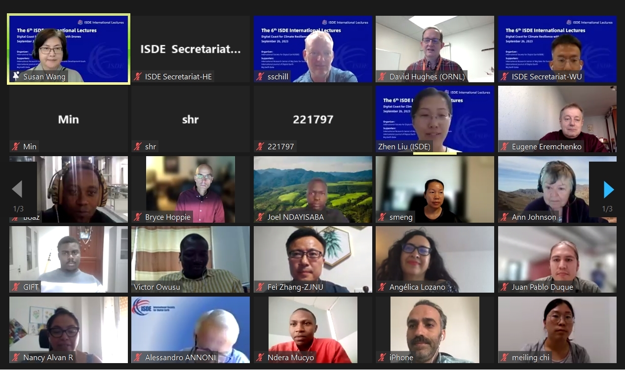
The ISDE International Lectures are organized by the International Society for Digital Earth (ISDE) and supported by the International Research Center of Big Data for Sustainable Development Goals (CBAS). It is a series of online events which feature invited lectures by well-known international experts in the field of Digital Earth. The event will invite speakers to give lectures every two months. The purpose of the events is to bring international scholars in the relevant research fields of Digital Earth together to exchange academic perspectives, share research results, and disseminate the most cutting-edge and authoritative concept of Digital Earth.

2006-2023 All Rights Reserved 京ICP备06045536号-1 京公网安备 11010802041631号