The 16th ISDE International Lectures, with the theme of "GeoAI for Intelligent Earth Observation", successfully took place on 10 July 2025. This session focused on the diverse applications of GeoAI in enabling more intelligent Earth Observation, showcasing its potential to advance geospatial analysis and its relevance across a wide range of fields.
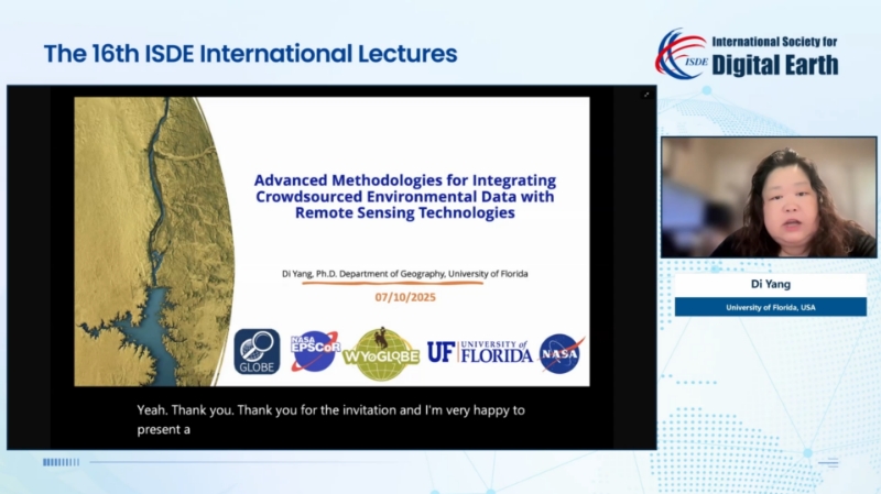
Dr. Di Yang, an Assistant Professor in the Department of Geography at the University of Florida, USA, delivered a lecture titled "Advanced Methodologies for Integrating Crowdsourced Environmental Data with Remote Sensing Technologies", where she demonstrated practices of citizen science observation data and introduced NASA's GLOBE Observer product. She highlighted the potential and value of integrating crowdsourced environmental data with remote sensing technologies in environmental monitoring, while putting forward considerations for making optimal use of citizen science data. She also referenced the mass die-off of birds caused by wildfires, drawing on research involving spatio-temporal modeling and machine learning. Her research offered a methodological reference for environmental monitoring and preservation.

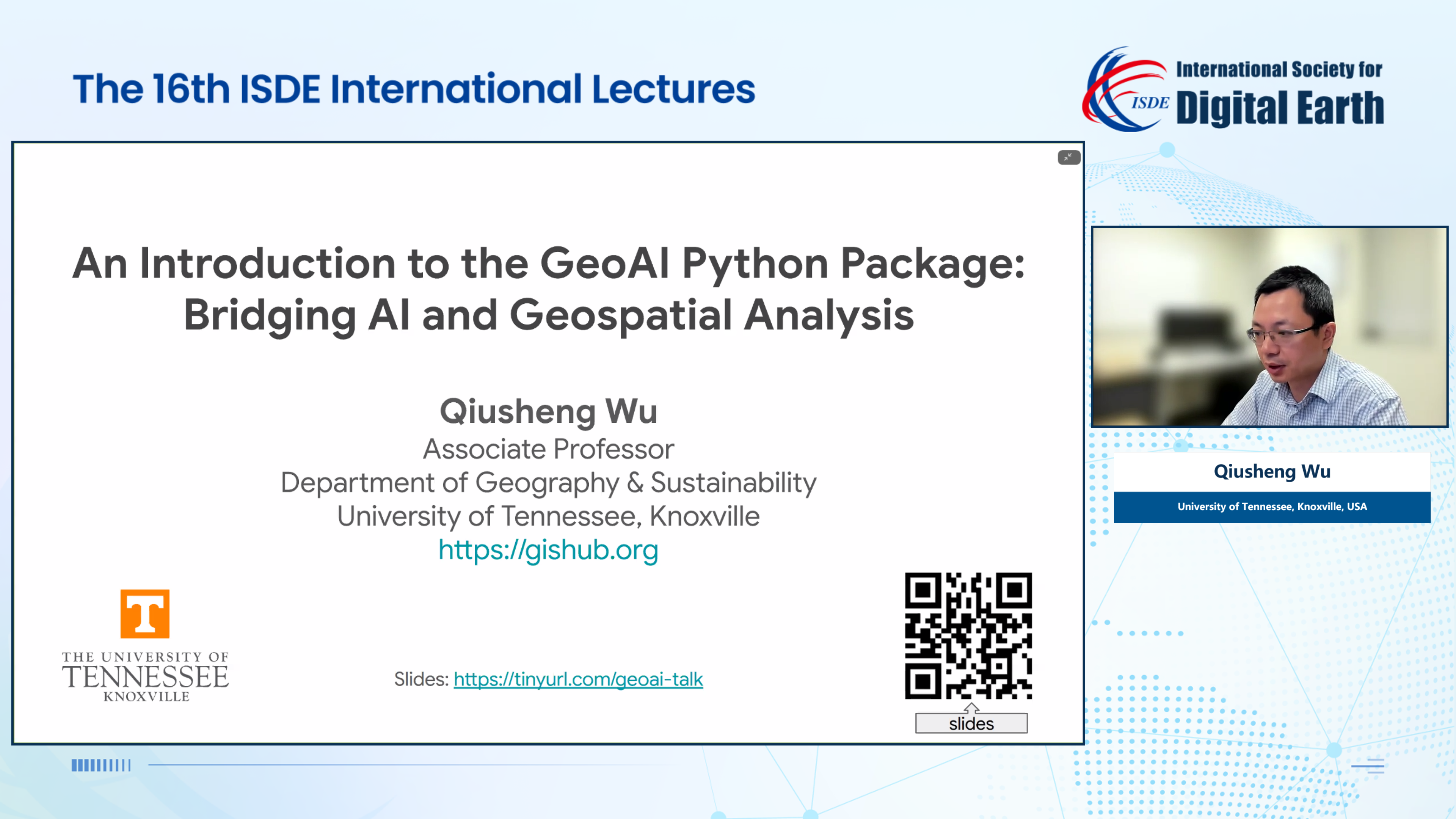
Dr. Qiusheng Wu, an Associate Professor and the Director of Graduate Studies in the Department of Geography & Sustainability at the University of Tennessee, Knoxville, USA, gave a lecture themed "An Introduction to the GeoAI Python Package: Bridging AI and Geospatial Analysis". He introduced the operations and functions of the GeoAI Python package in data download, visualization, model training, model inference, etc. He demonstrated its applications in tasks such as building footprint and solar panel extraction, as well as methods for creating training data and optimizing accuracy. Through abundant cases, he demonstrated the value of integrating geospatial data with AI. He also shared quite a number of teaching resources and open geospatial solutions, encouraging scholars to actively use such resources.

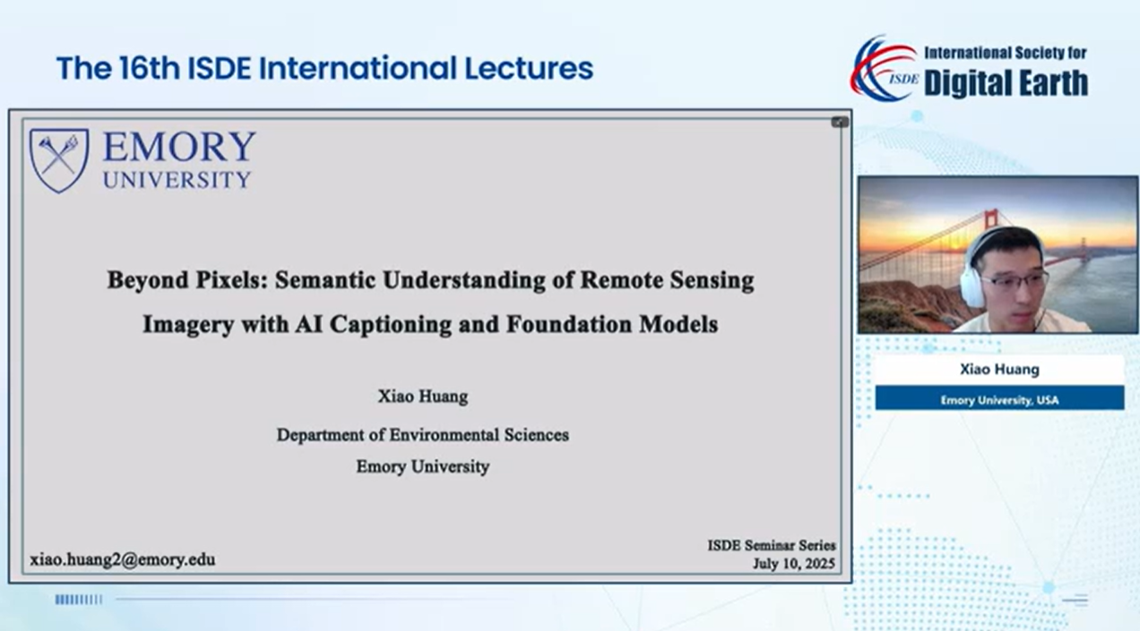
Dr. Xiao Huang, an Assistant Professor in the Department of Environmental Sciences at Emory University, USA, gave a lecture on "Beyond Pixels: Semantic Understanding of Remote Sensing Imagery with AI Captioning and Foundation Models". His lecture centered on the Geo-foundation models and AI captioning. He first reviewed the core concepts and history of AI foundation models, exhibiting the great potential of such models in improving the accuracy and efficiency of semantic understanding of remote sensing imagery. He also shared Aquila, a hierarchically aligned visual-language model for enhanced remote sensing image comprehension. He introduced his team's research results and indicated that future work will focus on exploring a unified framework for next-gen urban forecasting, aiming to enable more accurate Earth observation and analysis.

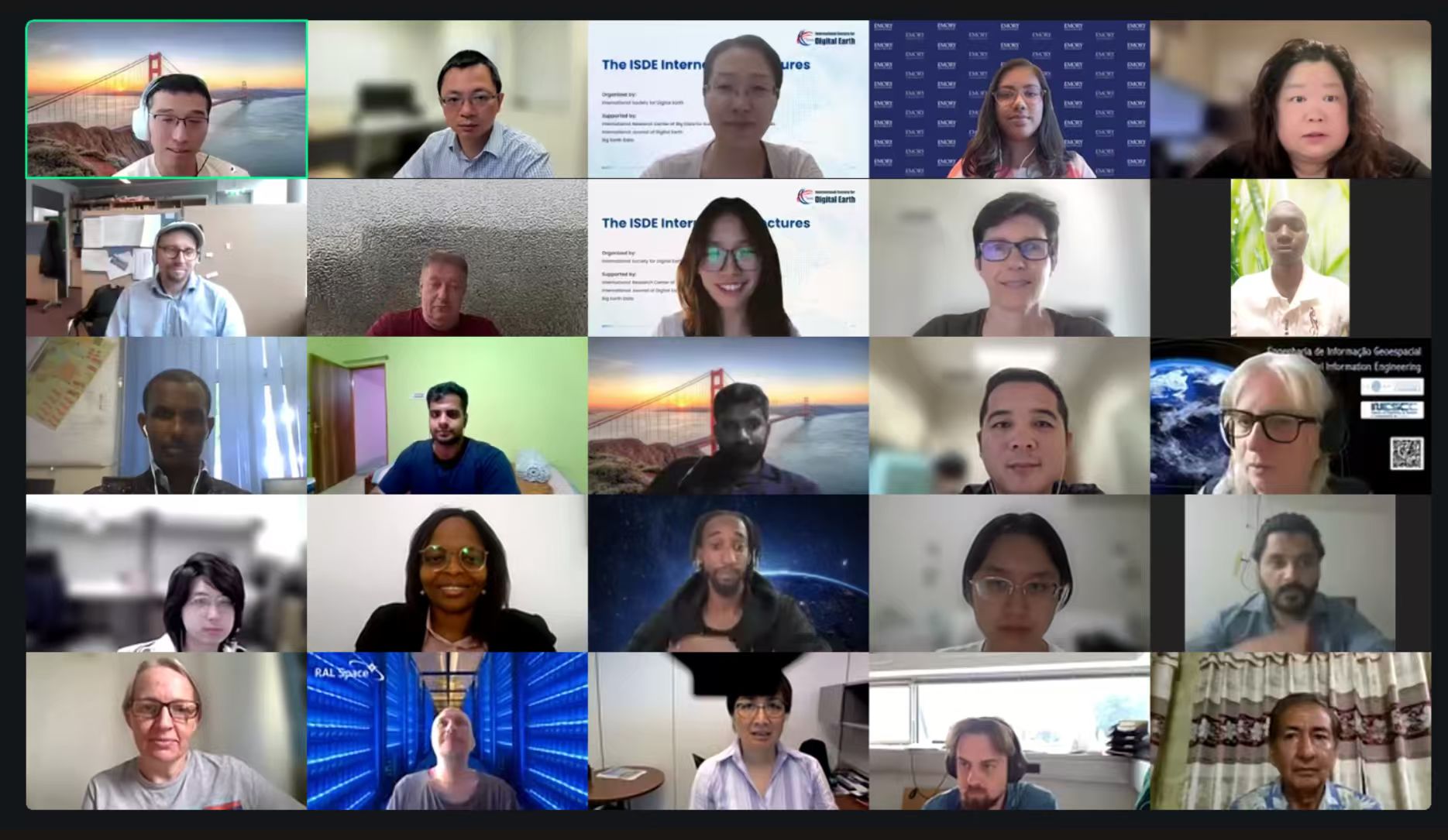
The event was moderated by Dr. Xiao Huang, and attracted over 5,000 participants from around the world through platforms such as Zoom and the ISDE Bilibili channel.


The ISDE International Lectures are organized by the International Society for Digital Earth (ISDE) and supported by the International Research Center of Big Data for Sustainable Development Goals (CBAS). It is a series of online events which feature invited lectures by well-known international experts in the field of Digital Earth. The purpose of the events is to bring international scholars in the relevant research fields of Digital Earth together to exchange academic perspectives, share research results, and disseminate the most cutting-edge and authoritative concept of Digital Earth.

2004-2026 All Rights Reserved 京ICP备06045536号-1 京公网安备 11010802041631号